Satellite
Sentinel-1/2, MODIS and Landsat track NDVI, canopy height, burn scars and land-use change.

dMRV engine / live
Karbonia turns evidence from forests, coastlines and clean-energy systems into verified, tokenized carbon credits — without the 18-month audit cycle.
Explore live evidenceObservation 01 / MRV engine
Four linked stages move field evidence into a transparent digital asset.
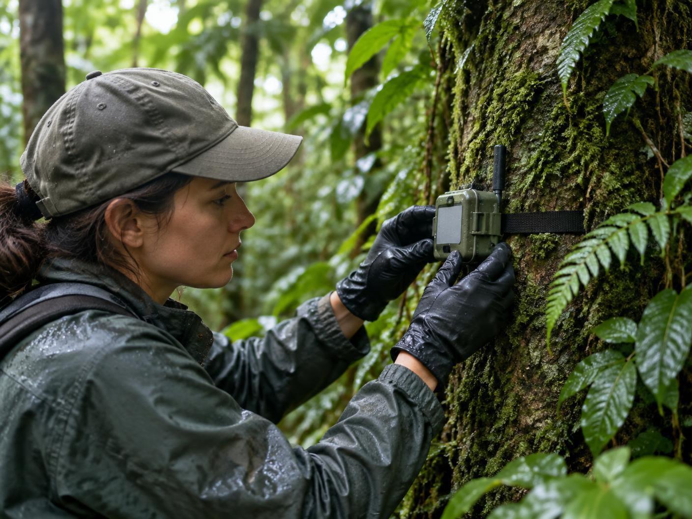
Satellites, IoT sensors and energy monitors create an evidence trail from canopy to kilowatt.
The Tri-Verification Protocol cross-checks every source, flags anomalies and scores confidence.
Hashes, scores and source records are anchored to a public, immutable registry.
Every verified ton of CO₂ mints 1 CAT, ready to trade, hold or retire.
Observation 02 / protocol
No single data source is trusted. Orbital observation, ground truth and registry history must reconcile before issuance.
CONFIDENCE_MODEL
0.40·SAT + 0.40·IOT + 0.20·LEDGER − ANOMALY
MINT_THRESHOLD ≥ 85.0
Evidence sources / live field notes
Sentinel-1/2, MODIS and Landsat track NDVI, canopy height, burn scars and land-use change.
Signed data from solar inverters, smart meters, soil probes and field devices.
Historical baselines and serial checks prevent overlap and double counting.
Models detect drift, tampering and divergence before a single CAT is minted.
Observation 03 / token registry
Only the protocol mints CAT. Every token carries its project, vintage and confidence metadata, and retirement creates a permanent certificate.
85%
project owner
7%
verification
5%
buffer pool
3%
treasury
Field intake / onboarding